GIS and Mapping
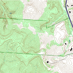
 We are equipped with sub-meter accuracy GPS units and ArcGIS. This is an accurate up-to-date mapping system which provides detailed maps which support project design, implementation and monitoring. The map outputs can interface with the AutoCad platform or be converted to Adobe pdf format for easy use.

